
Chakrata
Chakrata In the Dehradun district of the Indian state of Uttarakhand, It is both a cantonment town and a subdistrict/tehsil.
It is located 98 kilometers from the state capital, Dehradun, between the Tons and Yamuna rivers, at an elevation of 2118 meters. Originally, the British Indian Army had a cantonment in it. Himachal Pradesh is to the west, and Mussoorie (73 km) and Tehri Garhwal are to the east.
History
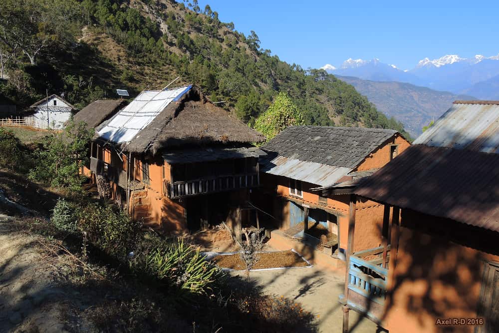
Jaunsar-Bawar is the name of the region, and only a few of the nearby villages have a noticeable presence there.
The town of Chakrata, with a population of 1250, and Kalsi, with a population of 760, were both located in the Chakrata Tehsil, which was a part of the Dehradun district of the United Provinces in 1901. Kalsi is best known for the rock edict of the Mauryan king Ashoka from the second century BC, which was first discovered by John Forest in 1860.
The cantonment
Colonel Hume of the 55th Regiment, British Indian Army, established a cantonment in 1869, and the soldiers and officers moved in for the first time in April of that same year.
Looking at Chakrata from Deoban.
Foreign visitors are severely constrained from entering Chakrata, a military outpost with restricted access. It is noteworthy that it is the permanent garrison of the elite and secretive Special Frontier Force, also known as Establishment 22 (referred to as “Two-Two”), the only ethnic Tibetan unit of the Indian Army that was formed following the Sino-Indian War of 1962.
Other intelligence services also provide weapons and survival training in Chakrata in support of Indian foreign policy objectives, particularly those pertaining to other nations in the Indian Subcontinent.
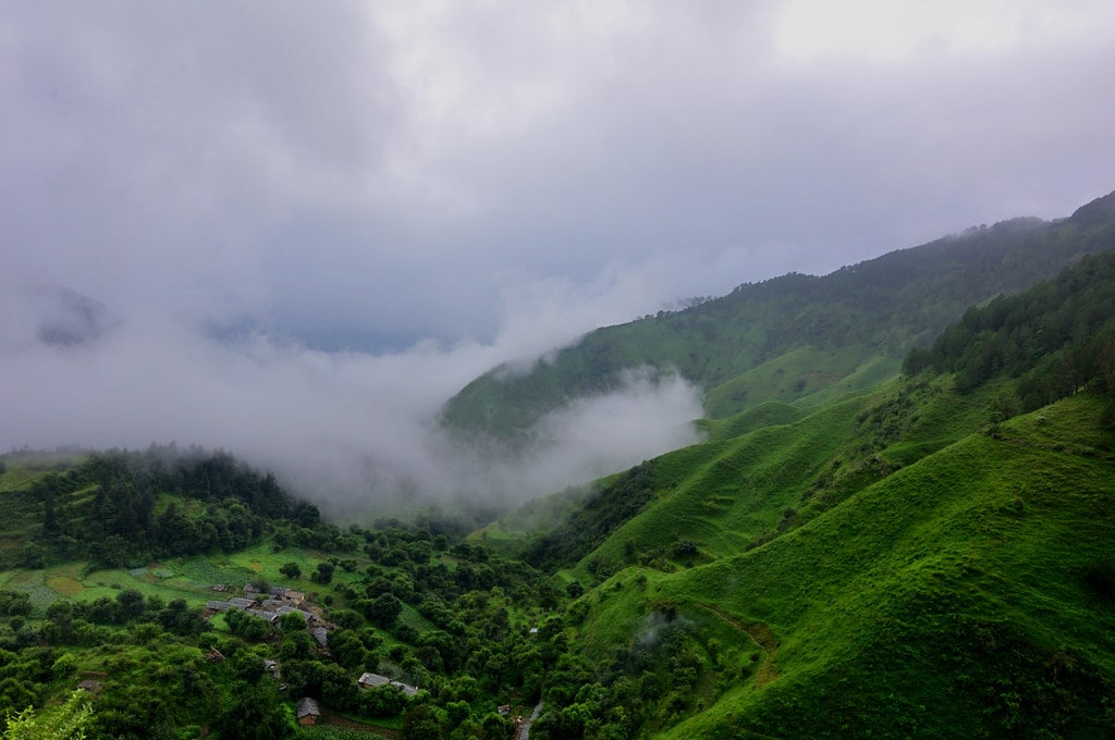
Tourism and nature
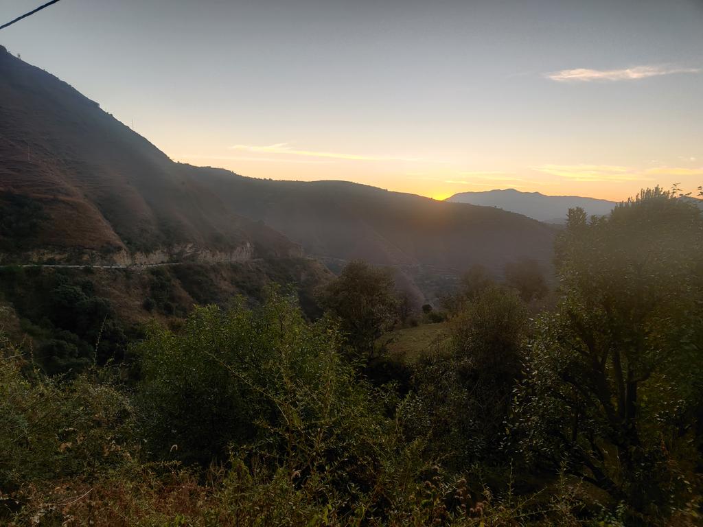
From Dehradun, Chakrata can be reached via Mussoorie or Vikasnagar by passing through the Kalsi Gate, which is home to Ashoka Stumbh. Both routes traverse gorgeous mountain roads. Traveling during the monsoon can be challenging due to the region’s frequent landslides that block roads.

Rhododendrons, oaks, and conifers are widely distributed in the area. In this area, red rhododendrons are the most prevalent. These places of interest can be found close to Chakrata.
One of Uttarakhand’s tallest direct waterfalls is called Tiger Falls. It is 20 kilometers from Chakrata and 312 feet above sea level.
At a height of 2800 meters, Budher (Moila Danda) is a charming meadow. A network of old limestone caves can be found within the Budher Karst landscapes.
One of Asia’s top-rated Deodar forests surrounds Kanasar. The roads on Tuini Road are not in the best condition and are about 25 km from Chakrata market. The expansive trees and meadows more than make up for the rough drive. It is among the best picnic areas close to it. Visitors can spend the night here by making a reservation at the forest rest house in Kanasar, which also offers some tented lodging.
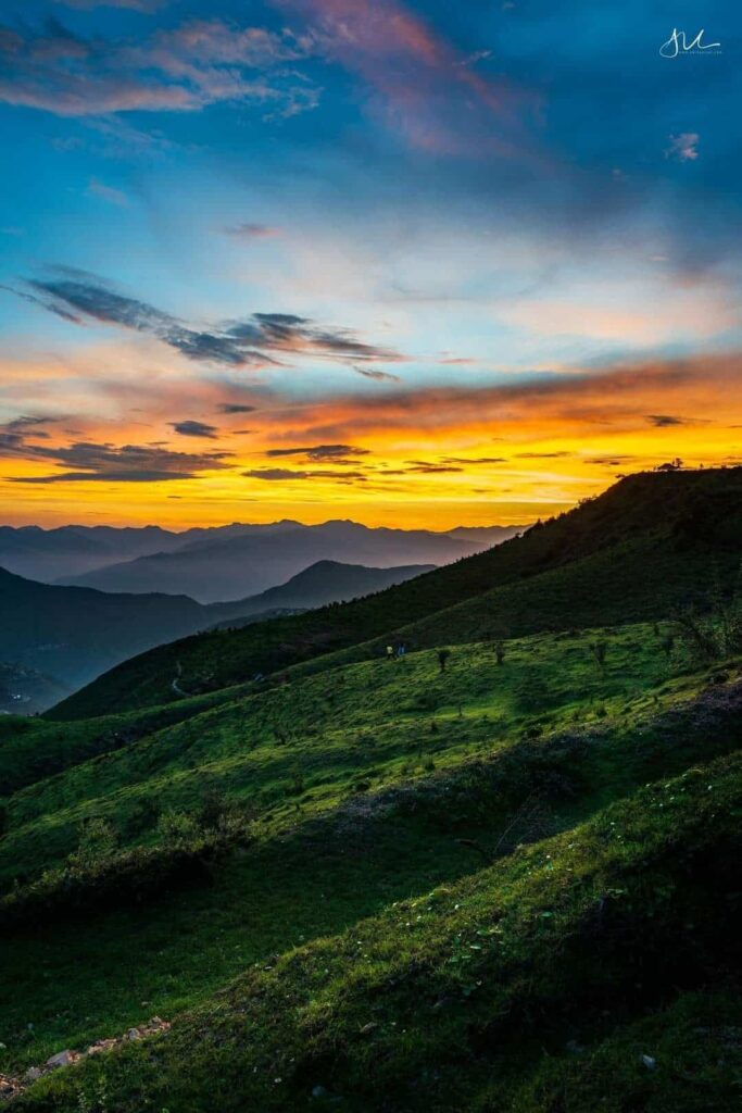
A picturesque plateau with one of the best sunset views can be found at Chilmiri Sunset Point, which is located 4 km from the main Chakrata market.
A panoramic view of the Himalayas is provided by Deoban, which is perched at about 2900 meters.
Mundali Meadows are difficult to reach but have a lot of potential for winter sports.
An ancient Hindu temple complex known as Lakhamandal that honors Shiva and is connected to the Pandavas. The distance from Chakrata is a little further, and driving there and back could take almost a full day. This Archaeological Survey of India-protected site is a must-visit if you enjoy history and long drives.
Demographics
Chakrata town is less than 15.70 square kilometers according to the 2011 India census. There are 759 households and 5,117 people living in urban Chakrata, of which 3,717 (73 percent) are men and 1,400 (27 percent) are women. The general category includes 73% of the population, while schedule castes and tribes make up 11% and 17%, respectively.
Recommended: The Global Country of World Peace: The Country Of Ram
7 percent of Chakrata (CB) cantonment board residents are children under the age of six, and of those, 54 percent are boys and 46 percent are girls. In the city, there are 759 households, with an average of 7 people living there. 4,293 people, or 84 percent of the population, identify as “literate.”.
A total of 67,258 people live in the subdistrict Chakrata, including 34,938 men and 32,320 women. The sub-district has a total area of 542.59 square km. with the exception of the territory governed by the cantonment board, is considered to be rural.
In the sub-district, 54.9 percent (36,919 people) of the population are Scheduled Tribes, compared to 34.6 percent (23,265) of the population who are from Scheduled Castes. 51.2% of the total population, i.E. E. The “literate” population is 34,440.
FAQs: Chakrata
Is Chakrata better than Mussoorie?
Mussoorie is located at an elevation of 6,170 ft above the sea level whereas Chakrata is located at an elevation of 7000-7250 ft above the sea level, which makes Chakrata located at a higher elevation and thus the higher you go the prettier it gets.
What is the best time to visit Chakrata?
The best time to visit It is between April and June, and from September to November. In the rainy season, the routes tend to become slippery and are prone to landslides. During winter, temperature can dip as low as negative 5 degree C.
Is there snowfall in Chakrata?
It receives snowfall during winters and heavy woolens are required during this season. Tranquility and seclusion are at its best during winter months in it.